
Precision and Integrity in Field Data Collection at CADSYS
The Field Data QA team at CADSYS ensures data accuracy for projects using the ConcordProAI platform. By validating field data for infrastructure design in telecom, cable TV, and utilities, they enhance planning, execution, and decision-making while reinforcing CADSYS’s leadership in reliable solutions.
Field Data Quality Assurance Services
Ensuring Precision and Integrity: The Field Data QA Process
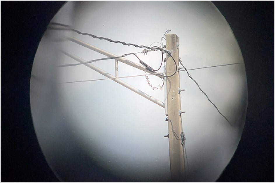
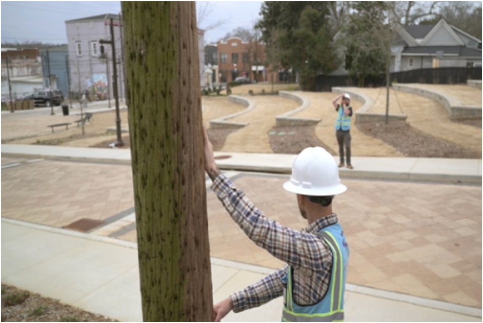
The Field Data QA team at CADSYS plays a vital role in ensuring the precision and integrity of critical data, essential for the operational success of projects. Utilizing the comprehensive ConcordProAI platform, the team meticulously collects, validates, and assures the quality of field data for infrastructure design and construction across sectors such as telecom, cable TV, and utilities.
Once data is collected, the team implements stringent validation protocols to ensure its accuracy, currency, and completeness, cross-referencing with existing datasets and verifying against predefined industry standards. Additionally, the team ensures compliance with strict regulatory requirements, mitigating risks associated with non-compliance.
Data Integration and Synchronization
The validated field data is seamlessly integrated into the ConcordProAI platform, which facilitates real-time data synchronization. This integration ensures that all project stakeholders have immediate access to the most current and reliable information.
This real-time visibility of data enhances communication and collaboration among project teams, enabling prompt decision-making and operational adjustments as necessary.

Support for Mobile Workforce Management
The availability of real-time data directly supports advanced mobile workforce management. This functionality allows for efficient resource allocation, task prioritization, and enhanced operational flexibility in the field.
The team leverages this capability to adapt to dynamic project conditions, ensuring that field operations are executed efficiently and effectively.
Integration with Geographic Information Systems (GIS)
The team employs GIS technology to map and visualize infrastructure data, thereby enhancing spatial analysis capabilities. This integration facilitates data-driven decision-making and reduces the risk of errors during project execution.
By visualizing data in GIS, the team can identify potential issues and optimize project planning, further enhancing overall project efficiency.